Buying Land In Marion County TN: A Practical Checklist
March 5, 2026
March 5, 2026
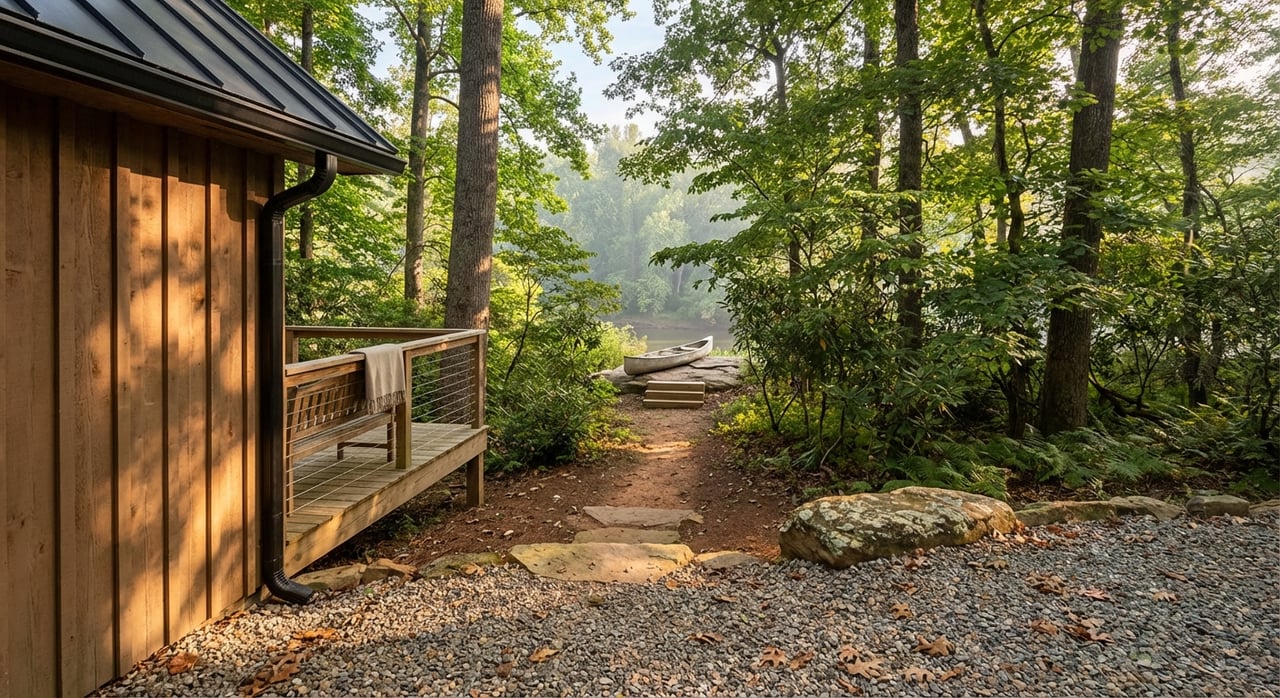
Picture your future cabin overlooking the Tennessee River Gorge or a quiet pasture in the valley where mornings are still and stars shine bright. Buying land in Marion County can unlock that lifestyle, but raw land comes with questions about access, septic, utilities, and permits. This practical guide gives you a clear, local checklist to follow so you can buy with confidence. You will learn what to verify, who to call, and how to plan your timeline. Let’s dive in.
Marion County includes valley-floor farmland and wooded ridge tracts near Jasper, South Pittsburg, and Whitwell. Ridge and top-of-mountain lots can deliver sweeping views but often have steeper slopes, shallow or rocky soils, and higher costs to extend utilities and build roads. Valley-floor parcels usually offer easier access and better soil for conventional septic, though some areas may fall within mapped flood zones. Knowing these patterns helps you match a parcel to your goals and budget.
Decide how you plan to use the land: full-time home, second home, rental, small farm, or recreation. Set a realistic budget for driveways, culverts, grading, utilities, well or water tap, and septic. Confirm with the county what your intended use requires and how it fits local rules by starting with Marion County Building & Planning.
Ask the listing agent for the legal description, any recorded plat, recent surveys, and any covenants or HOA rules. Share these with your title company and request a search for easements, mineral-right reservations, and liens. You can also confirm recorded documents through the Marion County Register of Deeds.
Verify that the parcel has public road frontage or a recorded access easement and ask who maintains the road. If access touches a state highway, a driveway entrance will require a TDOT highway entrance permit. For county or private roads, confirm maintenance responsibility and any private-road standards on the plat.
Pull the parcel on FEMA’s viewer to see if any 100-year floodplain or floodway affects your building area. This is also how you confirm if flood insurance could be relevant. Start with the FEMA Flood Map Service Center.
A new survey should show boundaries, easements, floodplain limits, utilities, and a proposed building envelope. County plats are required to show key details, including flood protections and utility notes, under the county’s current subdivision rules updated through August 5, 2025. Review the Marion County Subdivision Regulations with your surveyor.
Hire a TDEC-approved soil consultant for a site evaluation. The results determine if a conventional system is possible, if an alternative design is needed, and any bedroom limits tied to soil capacity. Learn the process and find resources at TDEC’s septic program.
If municipal water is not available, you will likely need a private well. In rocky or bedrock terrain, drilling can be deeper and more complex, so ask local licensed drillers about typical depths and yields in your area. Confirm licensing and filings through TDEC’s well driller rules.
Confirm electric service and any line-extension costs with the local distributor, and ask about fiber-to-the-premises through SVEConnect. These costs can be significant on mountain tracts with longer runs. Start with SVEC on TVA’s site: Sequachee Valley Electric Cooperative.
Parts of Marion County include karst limestone and areas with historic mining. On ridgelines or tracts near known mine activity, a geotechnical or geophysical review can reduce risk and guide design. For background on karst and related engineering concerns, see the USGS overview for Tennessee, and note that local reporting has documented mine-related concerns near Aetna Mountain and River Gorge Ranch (recent coverage).
If the parcel is in a gated or private development, request the current CCRs, HOA budget, architectural guidelines, and any road maintenance agreement. Rules can affect building style, short-term rentals, timber clearing, and setbacks. The county’s regulations require private covenants to be shown or referenced on plats, so compare the plat to the documents you receive.
Ask the title company to flag mineral-right reservations, existing quarry or mining leases, rights-of-way, and utility easements that could affect your building envelope. Make sure the final title commitment matches what the survey shows.
Plan the sequence: confirm access and plats, survey, soils testing, septic and well design with TDEC, county building permit, then any TDOT or county driveway permits and inspections. Always confirm the current process and forms with Marion County Building & Planning. Before you waive contingencies, contact Building & Planning and the Register of Deeds for current fees and the recorded history of the parcel.
A good plan saves money later. Set a cap for site work and get early estimates for driveways, culverts, grading, septic, well or water tap, and electric line extensions. Ridge tracts often carry higher utility and foundation costs, while valley parcels may require flood-aware siting.
Suggested sequence:
If you want a clean path from discovery to due diligence to closing, partner with a local broker who knows land and understands buildability. With a construction background and deep knowledge of Marion County’s ridge and valley parcels, Melissa Hubbard can help you vet soils, utilities, access, and timelines so you buy with clarity and confidence. Let’s connect and map the next steps for the parcel that fits your goals.
Stay up to date on the latest real estate trends.


Get assistance in determining the current property value, crafting a competitive offer, writing and negotiating a contract, and much more. Contact me today.